Bucharest is a sprawling city with heavy rush-hour traffic, yet its transport network — used wisely — will take you almost anywhere without a car. The trick is to pair the metro (fast and predictable) with surface transport (buses, trams, trolleybuses) and keep a few apps on hand. Below is a quick rundown of each option, with links to the detailed guides.
The metro (Metrorex)
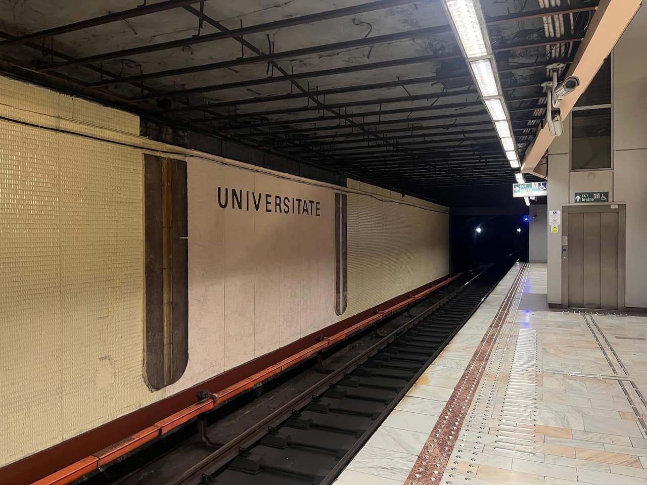
The metro is the backbone for fast trips. The network has five lines, M1–M5, run by Metrorex, connecting the big neighbourhoods to the centre and to the main railway station. In 2026 a single trip costs 5 lei, regardless of distance, and you tap in at the turnstiles with a travel card or a contactless bank card. Note: there is no official real-time arrivals app, so the platform timetable and the known frequency are your only reliable cues. Full details, maps and tips in the metro guide.
The flagship is M2, the north-south line through the city centre, which carries the heaviest passenger flow and is the quickest way to cross town at peak hours. M1 runs in a long loop, M3 serves the eastern and western neighbourhoods, M4 covers the north, and M5 is the newest line, opened on the western side of the city. Trains run frequently during the day and less often late at night, so check the last-train times if you are out in the evening.
Surface transport (STB)
STB runs the city's buses, trams and trolleybuses. You pay with a rechargeable Activ or Multiplu card or, increasingly, straight from a contactless bank card. Surface lines cover the areas the metro misses and are essential for the "last mile". See routes, fares and how to validate correctly in the public transport guide.
A key tip: you must validate every time you board, even on a transfer, and the same applies when paying contactless with a bank card. Trams often have their own right of way and can be faster than buses stuck in traffic, while trolleybuses are useful on the major radial avenues. Combining a metro hop with a short surface ride is usually the most efficient way to reach an address that is not right next to a station.
The airports
Bucharest has two airports. Otopeni (OTP), Henri Coandă International Airport, is the main hub for scheduled domestic and international flights — see the Otopeni guide. Băneasa (BBU), Aurel Vlaicu Airport, is smaller and used occasionally; details in the Băneasa guide.
Otopeni sits north of the city, off the DN1, and is connected to the centre by express bus, by rail and by road. Allow generous time during rush hour, when the northern approaches can be slow. Always factor traffic into your airport transfer rather than relying on the distance alone.
Trains, taxis and ride-hailing
Gara de Nord is the main rail hub, with trains to the rest of the country. For one-off trips there are taxis and ride-hailing apps such as Bolt and Uber, handy especially at night or with luggage. For city-centre parking and zone rules, check the parking guide.
With taxis, it is wise to order through an app or a dispatch line rather than hailing on the street, and to confirm the per-kilometre rate displayed on the door. Ride-hailing apps show the price up front, which removes any guesswork - a real advantage for visitors who do not speak Romanian.
Cycling, parking and traffic
The city has gradually expanded its bike lanes, but the network is still patchy — check your route first. Parking in central zones is limited and paid, so plan ahead. Traffic peaks in the morning (7:30–9:30) and late afternoon (5–7 pm), when the metro is clearly faster than driving.
If you are driving, expect the central districts to be the most congested and the hardest for parking; using a park-and-ride approach near a metro station and continuing underground is often the calmer choice. For cyclists, the lakeside parks in the north and the riverside stretches offer the most pleasant, low-traffic riding.
Useful apps
Install a public-transport route planner, a ride-hailing app and a navigation app. For wider context, read about tourism in Bucharest and the city's economy.
A simple strategy for visitors
For a short stay, the most reliable plan is to base yourself near a metro station, use M2 and the other lines for longer hops, and fill the gaps with short surface rides or a walk through the centre, which is compact and best explored on foot. Keep a contactless card ready for both metro and surface fares, and save a ride-hailing app for late nights or trips with luggage. That combination covers almost every situation without the stress of driving and parking.
FAQ
How much is a metro trip in 2026? 5 lei per trip, a flat fare regardless of distance.
Is there real-time metro info? There is no official real-time app; rely on the known frequency and the platform display.
How do I pay on a bus or tram? With an STB Activ/Multiplu card or contactless with a bank card.