Bucharest lies in the south of Romania, in the middle of the Romanian Plain, a low and even expanse. The almost flat relief has strongly shaped the city, its rivers and its lakes. The capital sits roughly midway between the Carpathian foothills to the north and the Danube to the south, on terraces left by the rivers that cross the plain.
Location and waters
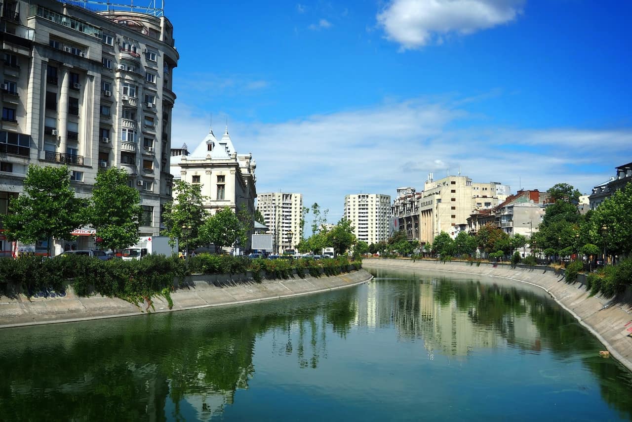
- The Dambovita crosses the city from north-west to south-east and is Bucharest's central river; for centuries it was both a source of water and a problem, because of flooding and pollution.
- The Colentina, the second river, flows through the north and north-east of the city and forms a genuine chain of lakes.
- Lakes: along the Colentina lie Herastrau (the largest leisure lake, in King Mihai I Park), Floreasca, Tei and others; to the west is Lacul Morii, the city's largest lake, created after the Ciurel dam was built to prevent flooding.
How the waters were tamed
The city's relationship with its rivers is a story of engineering. The Dambovita was repeatedly straightened, embanked and, in the communist era, channelled through the centre to control the floods that once plagued Bucharest. The Colentina lakes were arranged and regulated into the leisure chain visible today. These works turned unpredictable waterways into the parks, lakes and embankments that now define large parts of the city.
Relief and parks
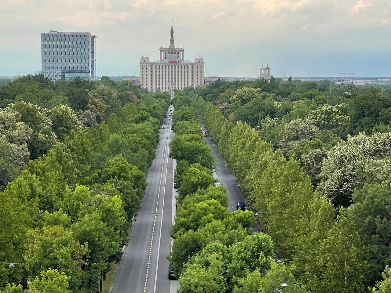
The flat relief allowed the development of large parks and green areas: King Mihai I Park (Herastrau), Cismigiu, Tineretului, Carol. Differences in altitude are small, which makes the city friendly for walking and cycling, despite the traffic. The slight rises that do exist, such as Metropolitan Hill, stand out precisely because the surrounding plain is so level, and historically these higher spots attracted churches and important buildings.
Climate
Bucharest has a temperate-continental climate, with four clearly marked seasons:
- Winters are cold, with average temperatures around 0 to -1 degrees C in January, snowfalls and occasional hard frosts.
- Summers are warm and sunny, with averages of about 22-23 degrees C in July and highs that can far exceed 30 degrees C during heat waves.
- Spring and autumn are mild and pleasant.
Being far from the sea and ringed by plain, the city feels the continental swing strongly: the gap between summer and winter is wide, and cold air from the north-east can push temperatures down sharply in winter. Rainfall is moderate and spread across the year, with the heaviest downpours typically in late spring and summer storms.
When to visit
The best periods are May-June and September-October, when the weather is mild, the parks are beautiful and the stifling summer heat is absent. To move easily between sights, use the metro and public transport. See also the city's sights and districts.